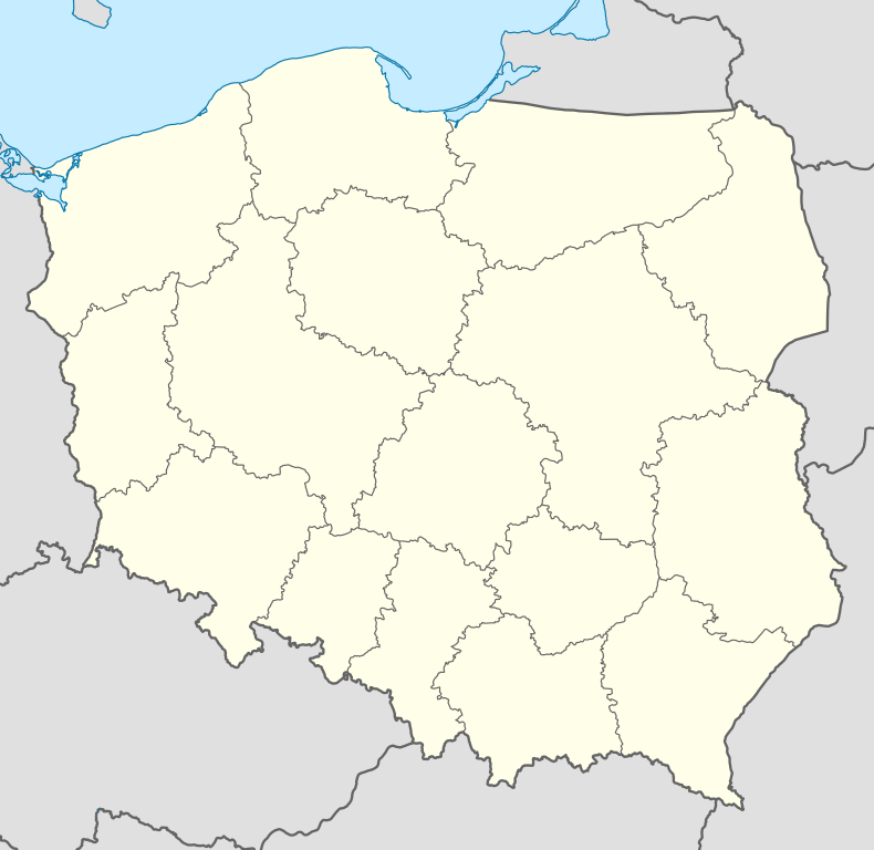
Koperniki
| Koperniki | |
|---|---|
|
General view | |
 Koperniki | |
| Coordinates: 50°24′N 17°17′E / 50.400°N 17.283°E | |
| Country |
|
| Voivodeship | Opole |
| County | Nysa County |
| Gmina | Gmina Nysa |
| Time zone | CET (UTC+1) |
| • Summer (DST) | CEST (UTC+2) |
| Area code(s) | +48 77 |
| Car plates | ONY |
Koperniki [kɔpɛrˈniki] (formerly German Köppernig, Köppernick) is a village in the administrative district of Gmina Nysa, within Nysa County, Opole Voivodeship, in southwestern Poland.[1]
It lies approximately 9 kilometres (6 mi) southwest of Nysa and 55 km (34 mi) southwest of the regional capital Opole.
Before 1945 the area was part of Germany (see Territorial changes of Poland after World War II). Between the 16th and 17th centuries it was under the Austro-Hungarian Empire, around the 14th to 15th century it was a part of Kingdom of Bohemia, and during the Piast dynasty (10th to 14th centuries) part of Kingdom of Poland.
The settlement was first mentioned in 1272. It was the ancestral village of Nicolaus Copernicus (born Nicklas Koppernigk).[2]
Epistemology
The village could have taken its name from the Slavic word for dill, koper or the old German term for the metal mined there, kopper. Both products exist on its hillsides, and its name may have commemorated both words.[2]
References
- ↑ "Central Statistical Office (GUS) - TERYT (National Register of Territorial Land Apportionment Journal)" (in Polish). 2008-06-01.
- ↑ 2.0 2.1 Sobel, Dava. A more perfect heaven : how Copernicus revolutionized the cosmos. New York: Walker & Company. p. 8. ISBN 978-0802778949.
| Wikimedia Commons has media related to Koperniki. |
| ||||||||||||
Coordinates: 50°24′N 17°17′E / 50.400°N 17.283°E

