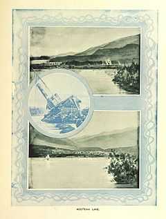
Kootenai Lakes
| Kootenai Lakes | |
|---|---|
 | |
| Location | Glacier National Park, Glacier County, Montana, US |
| Coordinates | 48°55′20.02″N 113°54′21.96″W / 48.9222278°N 113.9061000°WCoordinates: 48°55′20.02″N 113°54′21.96″W / 48.9222278°N 113.9061000°W[1] |
| Type | Natural |
| Primary outflows | Waterton River |
| Basin countries | United States |
| Max. length | .26 mi (0.42 km) |
| Max. width | .18 mi (0.29 km) |
| Surface elevation | 4,390 ft (1,340 m) |
Kootenai Lakes are located in Glacier National Park, in the U. S. state of Montana. The Kootenai Lakes are in the Waterton Valley in the north central section of Glacier National Park.[2]
See also
List of lakes in Glacier County, Montana
References
- ↑ "Kootenai Lakes". Geographic Names Information System. United States Geological Survey. Retrieved 2011-02-05.
- ↑ "Porcupine Ridge, MT" (Map (USGS Quad)). TopoQuest. Retrieved 2011-02-05.