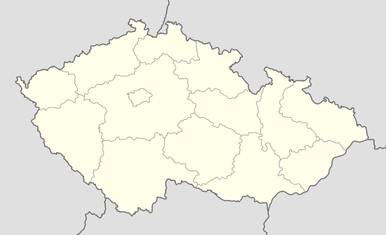
Komňa
| Komňa | ||
|---|---|---|
| Municipality | ||
| ||
 Komňa | ||
| Coordinates: 48°59′21″N 17°48′43″E / 48.98917°N 17.81194°ECoordinates: 48°59′21″N 17°48′43″E / 48.98917°N 17.81194°E | ||
| Country |
| |
| Region | Zlín | |
| District | Uherské Hradiště | |
| Area | ||
| • Total | 16.37 km2 (6.32 sq mi) | |
| Elevation | 364 m (1,194 ft) | |
| Population (2006) | ||
| • Total | 582 | |
| • Density | 36/km2 (92/sq mi) | |
| Postal code | 687 71 | |
| Website | http://www.komna.cz | |
Komňa is a village and municipality (obec) in Uherské Hradiště District in the Zlín Region of the Czech Republic.
The municipality covers an area of 16.37 square kilometres (6.32 sq mi), and has a population of 582 (as at 28 August 2006).
Komňa lies approximately 28 kilometres (17 mi) east of Uherské Hradiště, 30 km (19 mi) south of Zlín, and 274 km (170 mi) south-east of Prague.
References
| Wikimedia Commons has media related to Komňa. |
