Kokatahi
| Kokatahi | |
|---|---|
 Kokatahi | |
| Coordinates: 42°49′58″S 171°2′0″E / 42.83278°S 171.03333°ECoordinates: 42°49′58″S 171°2′0″E / 42.83278°S 171.03333°E | |
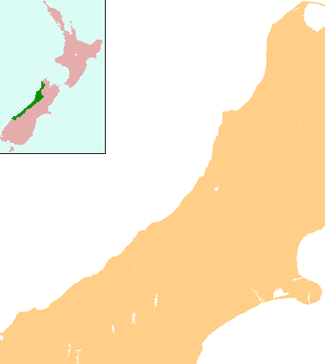
| Country | New Zealand |
| Region | West Coast |
| District | Westland District |
Kokatahi is a locality on the West Coast of New Zealand. Hokitika is about 15 km to the north-west. The Kokatahi River flows through the area and into the Hokitika River to the north-west.[1][2]
Farming in the area started in the late 1860s to produce oats and vegetables to feed the gold rush miners and their horses.[3] In 1900-1901 a dairy factory opened at Kokatahi.[4]
Education
Kokatahi-Kowhitirangi School is a coeducational contributing primary (years 1-6) school with a decile rating of 8 and a roll of 23.[5]
Notes
- ↑ Peter Dowling (editor) (2004). Reed New Zealand Atlas. Reed Books. pp. map 68. ISBN 0-7900-0952-8.
- ↑ Roger Smith, GeographX (2005). The Geographic Atlas of New Zealand. Robbie Burton. pp. map 156. ISBN 1-877333-20-4.
- ↑ Rogers, Anna (2005). Illustrated History of the West Coast. p. 61. ISBN 0-7900-1022-4.
- ↑ Rogers, p 100
- ↑ "Te Kete Ipurangi - Kokatahi-Kowhitirangi School". Ministry of Education.
| ||||||