Kieskautberg
| Kieskautberg | |
|---|---|
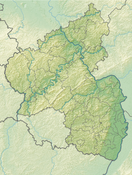 Kieskautberg Bad Durkheim, Rhineland-Palatinate | |
| Elevation | 461 m above sea level (1,512 ft) |
| Location | |
| Range | Palatine Forest |
| Coordinates | 49°28′20″N 8°02′23″E / 49.47222°N 8.03972°ECoordinates: 49°28′20″N 8°02′23″E / 49.47222°N 8.03972°E |
The Kieskautberg is a hill, 461 m, which is located 2 kilometres south of the German village of Carlsberg in the east of the Diemerstein Forest, which is part of the northern Palatine Forest.
The boundary between the collective municipalities of Freinsheim (south) and Grünstadt-Land (north) runs over the hill. [1]
The hill is covered by mixed forest. Its summit is accessible from Hertlingshausen by a footpath managed by the Palatine Forest Club, which is marked by a ![]() .[2]
.[2]
References
- ↑ GeoPortal Rheinland-Pfalz
- ↑ 1:50,000 map series with walking and cycling routes, published by the Rhineland-Palatinate State Survey Office, 1993