Kfarhata Zgharta
This article is about Kfarhata in the Zgharta District. For Kfarhata in the Koura District, see Kfarhata.
| Kfarhata كفرحاتا | |
|---|---|
| City | |
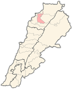
 Kfarhata Location within Lebanon | |
| Coordinates: 34°22′58″N 35°53′51″E / 34.38278°N 35.89750°ECoordinates: 34°22′58″N 35°53′51″E / 34.38278°N 35.89750°E | |
| Country |
|
| Governorate | North Governorate |
| District | Zgharta District |
| Elevation | 170 m (560 ft) |
| Time zone | EET (UTC+2) |
| • Summer (DST) | EEST (UTC+3) |
| Dialing code | +961 |
Kfarhata ( known also as Kfar Hata, Kafrhata, Arabic: كفرحاتا ) is a village located in the Zgharta District in the North Governorate of Lebanon. It is home for the El Chemor family, once rulers of Zgharta Zawiyeh in the Ottomans era.
| |||||||||||||||||||||||||||||