Kerimler, Tarsus
| Kerimler | |
|---|---|
| Village | |
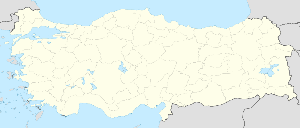
 Kerimler Location in Turkey | |
| Coordinates: 36°56′N 34°46′E / 36.933°N 34.767°ECoordinates: 36°56′N 34°46′E / 36.933°N 34.767°E | |
| Country |
|
| Province | Mersin Province |
| District | Tarsus |
| Elevation | 160 m (525 ft) |
| Population (2011) | |
| • Total | 226 |
| Time zone | EET (UTC+2) |
| • Summer (DST) | EEST (UTC+3) |
| Postal code | 33400 |
| Area code(s) | 0324 |
| Licence plate | 33 |
Kerimler is a village in Tarsus district of Mersin Province, Turkey. It between Turkish state highway D.400 and Motorway O-51 both lying fron west to wast in Çukurova (Cilicia of the antiquity). At 36°56′N 34°46′E / 36.933°N 34.767°E its distance to Tarsus is 15 kilometres (9.3 mi) to Mersin is 27 kilometres (17 mi). The population of village is 226 [1] as of 2011. Main economic activity is farming. Various vegetables and fruits and especially grapes are the most pronounced crops.