Kelahmet, Tarsus
| Kelahmet | |
|---|---|
| Village | |
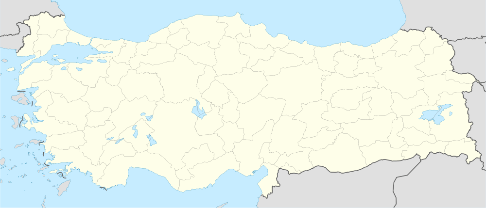
 Kelahmet Location in Turkey | |
| Coordinates: 36°49′N 34°59′E / 36.817°N 34.983°ECoordinates: 36°49′N 34°59′E / 36.817°N 34.983°E | |
| Country |
|
| Province | Mersin Province |
| District | Tarsus |
| Elevation | 5 m (15 ft) |
| Population (2011) | |
| • Total | 720 |
| Time zone | EET (UTC+2) |
| • Summer (DST) | EEST (UTC+3) |
| Postal code | 33400 |
| Area code(s) | 0324 |
| Licence plate | 33 |
Kelahmet is a village in Tarsus district of Mersin Province, Turkey. At 36°49′N 34°59′E / 36.817°N 34.983°E it is in Çukurova (Cilicia of the antiquity) and to the south of Tarsus. It is situated to the north of Mediterranean Sea coast and west of Berdan River. Its distance to Tarsus is 15 kilometres (9.3 mi) and to Mersin is 40 kilometres (25 mi). The population of Kelahmet was 720 [1] as of 2011. Situated in the fertile plains, farming is the major economic activity. Cotton and green house vegetables are the main crops.