Katzenbuckel
| Katzenbuckel | |
|---|---|
|
View to the Katzenbuckel | |
| Elevation | 626 m (2,054 ft) |
| Translation | Cat's arched back (German) |
| Location | |
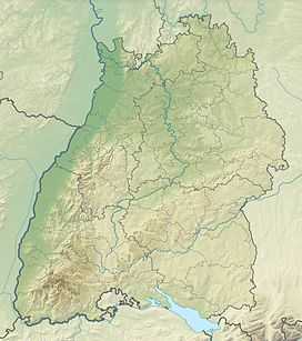 Katzenbuckel The location within Baden-Württemberg | |
| Location | Baden-Württemberg, Germany |
| Range | Odenwald |
| Coordinates | 49°28′15″N 9°02′28″E / 49.47083°N 9.04111°ECoordinates: 49°28′15″N 9°02′28″E / 49.47083°N 9.04111°E |

The Katzenbuckel (626 metres) is an extinct volcano and the highest elevation in the Odenwald region. The mountain is located eastwards of Eberbach, near the village of Waldbrunn. At the top of the Katzenbuckel is a 18 m high look-out, built out of sandstone. If the weather is good, it is possible to see the Donnersberg (83km away) and the surrounding secondary mountains (Taunus). When the view is exceptionally clear, it is theoretically possible to see the Kreuzberg (120km away) in the Rhön.