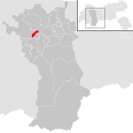
Karrösten
Karrösten is a municipality in the Imst (district) and is located 1.3 km east of Imst. The village was founded because of mining in the 16th century. On the slopes flourishes fruit and maize as well as the sweet chestnut
of Tyrol.
Population
| Historical population |
|---|
| Year | Pop. | ±% |
|---|
| 1869 | 342 | — |
|---|
| 1880 | 325 | −5.0% |
|---|
| 1890 | 326 | +0.3% |
|---|
| 1900 | 353 | +8.3% |
|---|
| 1910 | 358 | +1.4% |
|---|
| 1923 | 345 | −3.6% |
|---|
| 1934 | 376 | +9.0% |
|---|
| 1939 | 405 | +7.7% |
|---|
| 1951 | 416 | +2.7% |
|---|
| 1961 | 484 | +16.3% |
|---|
| 1971 | 500 | +3.3% |
|---|
| 1981 | 564 | +12.8% |
|---|
| 1991 | 647 | +14.7% |
|---|
| 2001 | 685 | +5.9% |
|---|
| 2011 | 680 | −0.7% |
|---|
References
External links
 |
Wikimedia Commons has media related to Karrösten. |
Municipalities in the district of Imst |
|---|
| |
|