Karasburg
| Karasburg | ||
|---|---|---|
| town | ||
 | ||
| ||
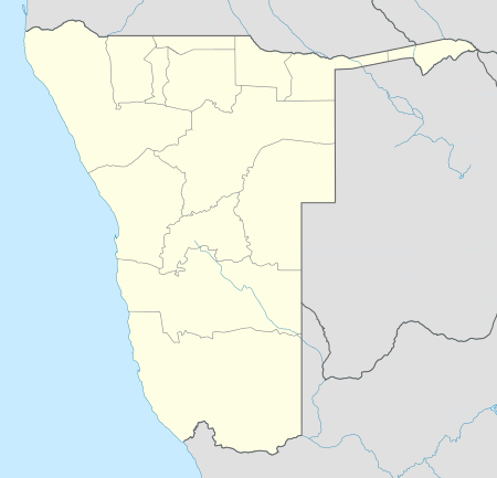 Karasburg Location in Namibia | ||
| Coordinates: 28°1′S 18°45′E / 28.017°S 18.750°E | ||
| Country |
| |
| Region | ǁKaras Region | |
| Constituency | Karasburg Constituency | |
| Government | ||
| • Mayor | Ernest Willem Anderson[1] | |
| Population (2011)[2] | ||
| • Total | 4,401 | |
| Time zone | West Africa Time (UTC+1) | |

Karasburg is a town[3] of 4,000 inhabitants in the ǁKaras Region of southern Namibia and the district capital of the Karasburg electoral constituency. It lies at the heart of the southern Namibian sheep farming industry.
Location
There are three main routes that lead into Karasburg. From Grünau in the west, Onseepkans in the south and the B3 main road that leads to the South African border in the east. The town lies 710-kilometre (440 mi) south of Windhoek, 862-kilometre (536 mi) north of Cape Town and 110 km west of the Ariamsvlei border post. Karasburg is the only relatively large town south of Keetmanshoop in Namibia.
Economy
Karasburg's main industry is sheep farming, but it is also an important truck stop for transport vehicles streaming into Namibia from the South African border. The town supports several massive farms in the area. The town also has its own airstrip which is used mainly for light aircraft or as an emergency landing strip for larger planes. Karasburg had the busiest train station in Southern Namibia and is also the last significant stop before Upington. Bondels Dam, built in 1959, lies 7-kilometre (4.3 mi) west of the town.
Karasburg was downgraded to "town" status in 2010.[4]
Climate
Karasburg has an extreme climate most times of the year with temperatures rising over 40 degrees Celsius in the rainy season and dropping to 2 degrees in the dry season. Low rainfall is seen in this region (annual average rainfall: 128 millimetres (5.0 in) at the Karasburg weather station),[5] but the rains usually come in early January and leave as late as early April, depending on the previous season's nature.
Politics
Local authority results, 2010
In the 2010 local authority election in Karasburg, a total of 808 votes were recorded. SWAPO won with approximately 46% of the vote. Of the three other parties seeking votes in the election, RDP received approximately 33% of the vote, followed by the Democratic Party (14%) and the Democratic Turnhalle Alliance (6%).[6] The resulting local council including three SWAPO members, three RDP members and one DPN member. The DPN's Caroline Arendse was elected mayor as the result of an alliance with SWAPO on 3 December 2010. However, the national Democratic Party condemned the alliance and called the swearing-in ceremony fraudulent.[7] On 8 December, Arendse was recalled from her position in the council and replaced with Ernest Willem Anderson.[1]
Wildlife
The Karasburg region hosts a variety of large to small game, ranging from Kudu and Springbok to Duiker, Klipspringer, Steenbok, Jackal and Caracal. The Kudu are abundant among the 'koppies' and roam free, leaping over any fence that may come in their way whereas the Springbok on the other hand are bound to single encampments, because they lack the suppleness and length to jump over fences. Caracals are widely hunted down by farmers, because they prey on the lambs of sheep. Gemsbuck are also widely scattered across the region in addition to Zebra and Red Hartebeest.
See also
- Railway stations in Namibia
References
- ↑ 1.0 1.1 DPN recalls new mayor The Namibian, 8 December 2010
- ↑ "Table 4.2.2 Urban population by Census years (2001 and 2011)" (PDF). Namibia 2011 - Population and Housing Census Main Report. Namibia Statistics Agency. p. 39. Retrieved 10 September 2013.
- ↑ Alliance of Mayors and Municipal Leaders on HIV/AIDS in Africa
- ↑ Hartman, Adam (27 Aug 2010). "Town regrading a ‘sad move’". The Namibian.
- ↑ Menges, Werner (26 May 2011). "Rainy season was one for the record books". The Namibian.
- ↑ Local Authority Election Results for Karasburg
- ↑ Party to discipline newly elected mayor The Namibian, 7 December 2010