Kantara, İskele
| Kantara | |
|---|---|
 Kantara | |
| Coordinates: 35°23′16″N 33°53′55″E / 35.38778°N 33.89861°ECoordinates: 35°23′16″N 33°53′55″E / 35.38778°N 33.89861°E | |
| Country |
|
| • District | Famagusta District |
| Country (controlled by) |
|
| • District | İskele District |
| Population (2011)[1] | |
| • Total | 21 |
| Time zone | EET (UTC+2) |
| • Summer (DST) | EEST (UTC+3) |
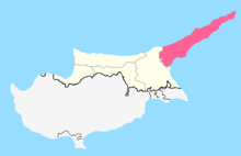
Kantara is a village in Northern Cyprus, south-west of Kantara Castle. De jure, it is part of Cyprus.
References
- ↑ "KKTC 2011 Nüfus ve Konut Sayımı" [TRNC 2011 Population and Housing Census] (in Turkish). TRNC State Planning Organization. 6 August 2013.
| ||||||||