Kangphu Kang
| Kangphu Kang | |
|---|---|
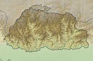 Kangphu Kang Location in Bhutan, on the border with China | |
| Elevation |
7,204 m (23,635 ft)[1] Ranked 107th |
| Prominence | 1,200 m (3,900 ft)[1] |
| Parent peak | Tongshanjiabu |
| Location | |
| Location | Bhutan–China border |
| Range | Himalayas |
| Coordinates | 28°09′18″N 90°03′45″E / 28.15500°N 90.06250°ECoordinates: 28°09′18″N 90°03′45″E / 28.15500°N 90.06250°E[2] |
| Climbing | |
| First ascent | September 2002 by a South Korean expedition |
| Easiest route | snow/ice climb |
Kangphu Kang is a mountain in the Himalayas. At 7,204 m (23,635 ft) above sea level it is the 107th highest mountain in the world. The peak is located on the border between Tibet, China and Bhutan.
The mountain has two significant subsidiary peaks, both located within Bhutan:
- Jejekangphu Kang (elevation = 6,965 m; prominence = 925 m) 28°9′N 90°1′E / 28.150°N 90.017°E[3]
- Kangphu Kang II (elevation = 6,945 m; prominence = 725 m) 28°8′N 90°6′E / 28.133°N 90.100°E[4]
Kangphu Kang was first climbed on 29 September 2002 by a South Korean expedition.
See also
References
- ↑ 1.0 1.1 "Kangphu Kang, Bhutan/China". Peakbagger.com. Retrieved 2014-08-04.
- ↑ "Kangphu Kang". Global.Mongabay.com. Retrieved 2014-08-04.
- ↑ "Jejekangphu Kang, Bhutan". Peakbagger.com. Retrieved 2014-08-04.
- ↑ "Kangphu kang II, Bhutan". Peakbagger.com. Retrieved 2014-08-04.