Kaduqli
| Kaduqli كادوقلي | |
|---|---|
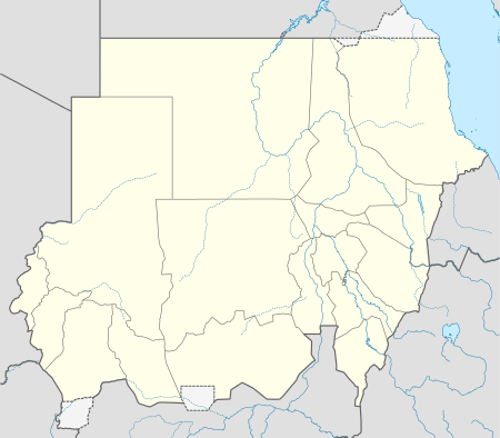 Kaduqli Location in Sudan | |
| Coordinates: 11°1′0″N 29°43′0″E / 11.01667°N 29.71667°ECoordinates: 11°1′0″N 29°43′0″E / 11.01667°N 29.71667°E | |
| Country |
|
| State | South Kurdufan |
| Population (2005) | |
| • Total | 92,674 (est) |
Kaduqli (Arabic: كادوقلي Kāduqlī) is a capital city of South Kurdufan State, Sudan. It is located 149 miles (240 km) south of al-Ubayyid, at the northern edge of the White Nile plain in the Nuba Mountains. It contains Hilal Stadium.
Economy
It is a trading centre for gum arabic and livestock. Industries include textiles, soap factories, and the production of leather. Kaduqli is also the Headquarters of Sector IV of the UNMIS (United Nations Mission in Sudan). The sector IV HQ houses the Egyptian Contingent and also includes the Indian Aviation Contingent, flying MI-17 helicopters.
Climate
| Climate data for Kaduqli | |||||||||||||
|---|---|---|---|---|---|---|---|---|---|---|---|---|---|
| Month | Jan | Feb | Mar | Apr | May | Jun | Jul | Aug | Sep | Oct | Nov | Dec | Year |
| Average high °C (°F) | 34 (93) |
36 (96) |
39 (102) |
39 (102) |
38 (100) |
34 (93) |
31 (87) |
31 (87) |
32 (89) |
34 (93) |
36 (96) |
35 (95) |
34.9 (94.4) |
| Average low °C (°F) | 17 (62) |
19 (66) |
21 (69) |
23 (73) |
23 (73) |
22 (71) |
21 (69) |
21 (69) |
20 (68) |
20 (68) |
18 (64) |
17 (62) |
20.2 (67.8) |
| Average precipitation cm (inches) | 0 (0) |
0 (0) |
0.3 (0.1) |
1.5 (0.6) |
7.4 (2.9) |
11.2 (4.4) |
15 (5.9) |
15 (6) |
14.2 (5.6) |
8 (3) |
0.3 (0.1) |
0 (0) |
72.9 (28.6) |
| Source: Weatherbase [1] | |||||||||||||
External links
References
- ↑ "Weatherbase: Historical Weather for Kaduqli, Sudan". Weatherbase. 2011. Retrieved on November 24, 2011.