Kabba/Bunu
| Kabba/Bunu | |
|---|---|
| LGA | |
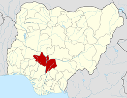
 Kabba/Bunu Location in Nigeria | |
| Coordinates: 8°07′N 6°09′E / 8.117°N 6.150°ECoordinates: 8°07′N 6°09′E / 8.117°N 6.150°E | |
| Country |
|
| State | Kogi State |
| Area | |
| • Total | 2,706 km2 (1,045 sq mi) |
| Population (2006 census) | |
| • Total | 145,446 |
| Time zone | WAT (UTC+1) |
| 3-digit postal code prefix | 261 |
| ISO 3166 code | NG.KO.KB |
Kabba/Bunu is a Local Government Area in Kogi State, Nigeria. Its headquarters are in the town of Kabba on the A123 highway in the southwest of the area at7°49′43″N 6°04′23″E / 7.82861°N 6.07306°E.
It has an area of 2,706 km2 (1,045 sq mi) and a population of 145,446 at the 2006 census.
The postal code of the area is 261.[1]
References
- ↑ "Post Offices- with map of LGA". NIPOST. Retrieved 2009-10-20.
| |||||||||||||