Köýtendag Range
| Köýtendag | |
|---|---|
| (Koytendag) | |
 Köýtendag Lebap Province, Turkmenistan | |
| Elevation | 3,139 m (10,299 ft) |
| Prominence | ca. 1700 m |
| Location | |
| Coordinates | 37°40′0″N 66°33′0″E / 37.66667°N 66.55000°ECoordinates: 37°40′0″N 66°33′0″E / 37.66667°N 66.55000°E |
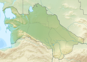
Köýtendag Range (also Koytendag Range or Kugitangtau Range, Turkmen: Köýtendag) is a spur of the Pamir-Alay mountains in the south-east of Turkmenistan, extending along the border with Uzbekistan's Surkhandarya Province. It rises to 3,139 metres (10,299 ft) at Mount Aýrybaba, which is the highest summit in Turkmenistan.
The Köýtendag Nature Reserve is located within the range.
References
- "Kugitangtau", Encyclopædia Britannica Online, 2008. Retrieved on 2008-12-28.
- "Kugitangtau", Big Soviet Encyclopedia Online (Russian). Retrieved on 2008-12-28.
- Nature reserve in Koytendag Mountains