Kärpf
| Kärpf | |
|---|---|
 | |
| Elevation | 2,794 m (9,167 ft) |
| Prominence | 533 m (1,749 ft)[1] |
| Parent peak | Tödi |
| Location | |
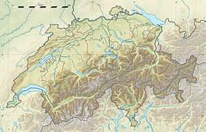
 Kärpf Location in Switzerland | |
| Location | Glarus, Switzerland |
| Range | Glarus Alps |
| Coordinates | 46°55′0.4″N 9°5′35.3″E / 46.916778°N 9.093139°ECoordinates: 46°55′0.4″N 9°5′35.3″E / 46.916778°N 9.093139°E |
The Kärpf (or Chärpf) is a mountain in the Glarus Alps, located in the canton of Glarus. With a height of 2,794 metres above sea level, the Kärpf is the highest point of the massif lying north of Richetli Pass (2,261 metres). This range separates the two main valleys of Glarus: the main Linth valley with Linthal on the west and the Sernftal with Elm on the east.
On the north side of the Kärpf is located a small valley, which is occupied by a lake, the Garichtisee.