Jerez de los Caballeros
| Jerez de los Caballeros | ||
|---|---|---|
| Town | ||
 | ||
| ||
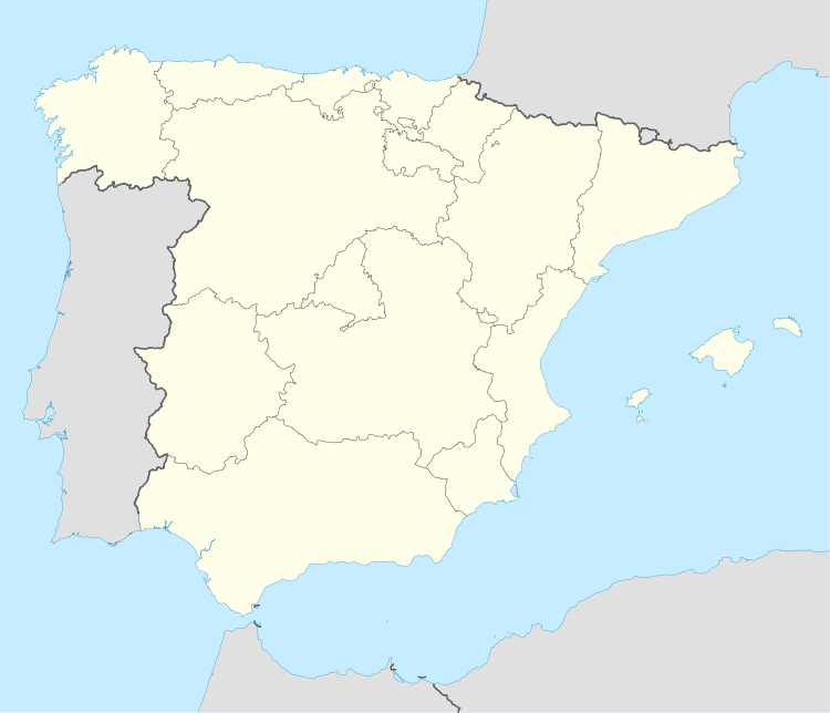 Jerez de los Caballeros Location in Spain | ||
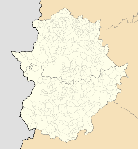 Jerez de los Caballeros Location in Extremadura | ||
| Coordinates: 38°19′13″N 6°46′17″W / 38.32028°N 6.77139°W | ||
| Country |
| |
| Autonomous Community |
| |
| Province | Badajoz | |
| Comarca | Sierra Suroeste | |
| Government | ||
| • Mayor | Margarita Pérez Egea (PSOE) | |
| Area | ||
| • Total | 740 km2 (290 sq mi) | |
| Elevation(AMSL) | 506 m (1,660 ft) | |
| Population (2012) | ||
| • Total | 9,870 | |
| • Density | 13/km2 (35/sq mi) | |
| Time zone | CET (UTC+1) | |
| • Summer (DST) | CEST (GMT +2) (UTC+2) | |
| Postal code | 06380 | |
| Area code(s) | +34 (Spain) + 924 (Badajoz) | |
| Website | www.jerezcaballeros.es | |

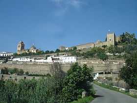
Jerez de los Caballeros is a town of south-western Spain, in the province of Badajoz. It is situated on two heights overlooking the River Ardila, a tributary of the Guadiana, 12 miles east of the Portuguese frontier. The old town is surrounded by a Moorish wall with six gates. The newer portion is well and regularly built, and planted with numerous orange and other fruit trees. Its staple trade is in agricultural produce, especially in ham and bacon from herds of swine which are reared in the surrounding oak forests. The town is said to have been founded by Alfonso IX of Leon in 1229; in 1232 it was extended by his son Ferdinand III the Saint, who gave it to the Knights Templar. Hence the name Jerez de los Caballeros, Jerez of the Knights. It was also the birthplace of the explorers Hernando de Soto and Vasco Núñez de Balboa.
External links
![]() Media related to Jerez de los Caballeros at Wikimedia Commons
Media related to Jerez de los Caballeros at Wikimedia Commons
![]() This article incorporates text from a publication now in the public domain: Chisholm, Hugh, ed. (1911). Encyclopædia Britannica (11th ed.). Cambridge University Press.
Coordinates: 38°19′N 6°46′W / 38.317°N 6.767°W
This article incorporates text from a publication now in the public domain: Chisholm, Hugh, ed. (1911). Encyclopædia Britannica (11th ed.). Cambridge University Press.
Coordinates: 38°19′N 6°46′W / 38.317°N 6.767°W