Jeeralang, Victoria
| Jeeralang Victoria | |
|---|---|
 Jeeralang | |
| Coordinates | 38°24′S 146°28′E / 38.400°S 146.467°ECoordinates: 38°24′S 146°28′E / 38.400°S 146.467°E |
| Population | 589 (2006 census)[1] |
| Postcode(s) | 3844 |
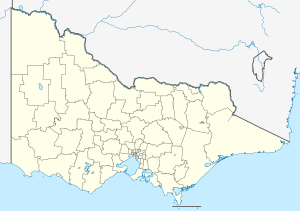
| Location | |
| LGA(s) | City of Latrobe |
| County | Buln Buln |
| State electorate(s) | Morwell |
| Federal Division(s) | Gippsland |
Jeeralang is a locality in the Gippsland region of Victoria, Australia. The locality is 176 kilometres (109 mi) east of the state capital, Melbourne. At the 2006 census, Jeeralang and the surrounding area had a population of 589.[1]
The locality was severely affected by the Black Saturday bushfires, including a fatality.[2]
References
- ↑ 1.0 1.1 Australian Bureau of Statistics (25 October 2007). "Jeeralang Junction (State Suburb)". 2006 Census QuickStats. Retrieved 2009-02-08.
- ↑ Cooper, Mex (8 February 2009). "Death toll rises from bushfires". The Age. Retrieved 2009-02-08.
| ||||||