Jach'a Tira
| Jach'a Tira | |
|---|---|
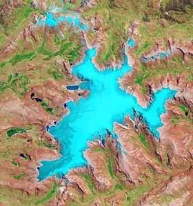 The glaciated Rit'ipampa area (center) and Jach'a Tira shown in the upper right part of this image (NASA, 2010) | |
| Elevation | 5,320[1] m (17,450 ft) |
| Location | |
 Jach'a Tira Location within Peru | |
| Location | Peru |
| Range | Andes, Willkanuta |
| Coordinates | 13°52′34″S 70°45′49″W / 13.87611°S 70.76361°WCoordinates: 13°52′34″S 70°45′49″W / 13.87611°S 70.76361°W |
Jach'a Tira (Aymara jach'a big, tira cradle,[2] "big cradle", also spelled Jachatira) is a , about 5,320-metre (17,454 ft) high mountain in the Willkanuta mountain range in the Andes of Peru. It is situated in the Puno Region, Carabaya Province, Corani District, west of Corani (Qurani). Jach'a Tira lies northwest of the mountain Tarujani in the east of the large glaciated area of Rit'ipampa (Quechua for "snow plain").[1][3]
References
- ↑ 1.0 1.1 "Cerro Jachatira". IGN, Peru. Retrieved January 31, 2015.
- ↑ Radio San Gabriel, "Instituto Radiofonico de Promoción Aymara" (IRPA) 1993, Republicado por Instituto de las Lenguas y Literaturas Andinas-Amazónicas (ILLLA-A) 2011, Transcripción del Vocabulario de la Lengua Aymara, P. Ludovico Bertonio 1612 (Spanish-Aymara-Aymara-Spanish dictionary)
- ↑ escale.minedu.gob.pe - UGEL map of the Carabaya Province (Puno Region)