Itariri
| Itariri | |
|---|---|
| municipality | |
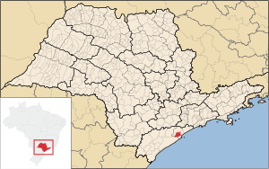 Location of Itariri within São Paulo state | |
| Coordinates: 23°50′46″S 46°37′47″W / 23.84611°S 46.62972°WCoordinates: 23°50′46″S 46°37′47″W / 23.84611°S 46.62972°W | |
| Country | Brazil |
| State | São Paulo |
| Area | |
| • Total | 2,745.8 km2 (1,060.2 sq mi) |
| Population (2004) | |
| • Total | 14,642 |
| • Density | 5.3/km2 (14/sq mi) |
| Postal code | 11760-xxx |
| Area/distance code | (00)55-11 |
| Website | www.itariri.sp.gov.br |
Itariri is a municipality in the state of São Paulo in Brazil. The population in 2004 is 14,642 and the area is 2,745.8 km². The elevation is 55 m. This place name comes from the Tupi language.
Itariri is linked with the BR-101. The urban area is within the Atlantic Ocean and is the westernmost and much of the area are dense forest including Vale do Ribeira.
External links
- (Portuguese) http://www.itariri.sp.gov.br
- (Portuguese) citybrazil.com.br
- (Portuguese) Portal Nosso São Paulo