Ironbark, Queensland
| Ironbark Ipswich, Queensland | |||||||||||||
|---|---|---|---|---|---|---|---|---|---|---|---|---|---|
|
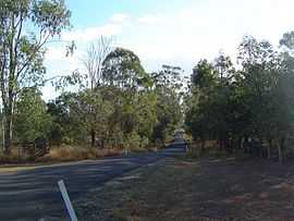
Beethams Road, 2014 | |||||||||||||
| Population | 846 (2011)[1] | ||||||||||||
| Postcode(s) | 4306 | ||||||||||||
| Location | |||||||||||||
| LGA(s) | City of Ipswich | ||||||||||||
| State electorate(s) | Ipswich West | ||||||||||||
| Federal Division(s) | Blair | ||||||||||||
| |||||||||||||
Ironbark is a suburb of Ipswich, Queensland, Australia. At the 2011 Australian Census the suburb recorded a population of 846.[1]
The eastern boundary of Ironbark is marked by the Brisbane Valley Highway and the southern boundary follows the Warrego Highway.
References
- ↑ 1.0 1.1 Australian Bureau of Statistics (31 October 2012). "Ironbark (State Suburb)". 2011 Census QuickStats. Retrieved 9 August 2014.
External links
| Wikimedia Commons has media related to Ironbark, Queensland. |
Coordinates: 27°33′19″S 152°40′29″E / 27.55528°S 152.67472°E