Ill (France)
| Ill | |
|---|---|
 The Ill at Strasbourg. | |
| Origin | Jura mountains |
| Mouth |
Rhine 48°42′1″N 7°55′52″E / 48.70028°N 7.93111°ECoordinates: 48°42′1″N 7°55′52″E / 48.70028°N 7.93111°E |
| Basin countries | France |
| Length | 223 km (139 mi) |
| Source elevation | ±570 m (1,870 ft) |
| Basin area | 4,760 km2 (1,840 sq mi) |

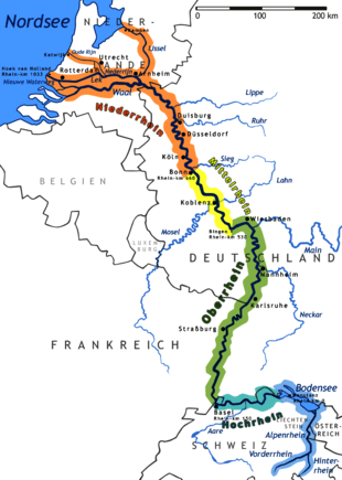
The Ill (/ˈɪl/; French: [il]) is a river in Alsace, in north-eastern France. It is a "left-side", or western tributary of the Rhine.
It starts down from its source near the village of Winkel, in the Jura mountains, with a resurgence near Ligsdorf, turns around Ferrette on its east side, and then runs northward through Alsace, flowing parallel to the Rhine. Taking apart the Largue, also coming from the Jura mountains near Illfurth, it receives several tributaries from the west bank Vosges mountains after passing through Altkirch: the Doller in Mulhouse, the Thur near Ensisheim, the Lauch in Colmar, the Fecht in Illhaeusern, the Giessen in Sélestat, the Andlau near Fegersheim, the Ehn near Geispolsheim, the Bruche next to Strasbourg and the Souffel upstream from La Wantzenau before meeting with the Rhine downstream from Gambsheim's lock.
As the Ill nears the city of Mulhouse, most of its flow is diverted into a discharge channel leading to the Doller, protecting the historical center of the town from floods.
Flowing through the city of Strasbourg, the river forms part of the 17th-century fortifications and passes through a series of locks and channels in the picturesque old town, including the Petite-France district, where its waters were once used to power mills and tanneries.
See also
References
| Wikimedia Commons has media related to Ill (France). |
| ||||||||||||