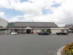
Iga-Ueno Station
Iga-Ueno Station 伊賀上野駅 | |
 | |
|---|---|
| Iga Ueno Station | |
| Location | |
| Prefecture | Mie (See other stations in Mie) |
| City | Iga |
| Neighborhood etc. | Mita |
| Postal code | 518 - 0022 |
| (in Japanese) | 三重県伊賀市三田 |
| History | |
| Year opened | 1897 |
| Rail services | |
| Operator(s) | JR West |
| Line(s) | Kansai Main Line Kusatsu Line |
| Statistics | 746 (JR) 400 (Iga Railway) passengers/day 2011 |
Iga-Ueno Station (伊賀上野駅 Iga-Ueno-eki) is a railway station in Iga, Mie Prefecture, Japan. It is located 94.5 rail kilometres from the terminus of the Kansai Main Line at Nagoya Station and 34.6 rail kilometers from Kameyama Station, and is 16.6 rail kilometers from the opposing terminus of the Isa Line at Iga-Kambe Station.
Lines
- West Japan Railway Company (JR West)
- Iga Railway
Layout
Iga-Ueno Station has a side platform which is cut away on one side to form a semi-bay platform, and in an island platform with four tracks on the ground level, connected by an overpass. The Iga line tracks are electrified but the Kansai Line tracks are not.
Platforms
| 1 | ■Iga Railway Iga Line | for Uenoshi and Iga-Kambe |
| 2 | ■JR West Kansai Line | for Kamo and Nara |
| 3 | ■JR West Kansai Line | for Tsuge and Kameyama |
| 4 | ■JR West Kansai Line | returning for Kamo and Nara for Tsuge and Kameyama |
Adjacent stations
| « | Service | » | ||
|---|---|---|---|---|
| JR West Kansai Main Line | ||||
| Sanagu | - | Shimagahara | ||
| Iga Railway Iga Line | ||||
| Terminus | - | Nii | ||
History
Iga-Ueno Station was opened on January 15, 1897 as Ueno Station (上野駅 Ueno-eki). The line was nationalized on October 1, 1907, becoming part of the Japanese Government Railway (JGR), which became the JNR (Japan National Railways) after World War II. The station name was changed to its present name on September 11, 1916. Freight operations were discontinued from February 1, 1984. With the privatization of the JNR on April 1, 1987, the station came under the control of JR West. The Iga Railway began operations on August 8, 1916. Through a series of mergers, the line became part of the Kintetsu group by June 1, 1944, but was spun-out as an independent company again on October 1, 2007.
External links
| Wikimedia Commons has media related to Iga-Ueno Station. |
| ||||||
| ||||||||||
Coordinates: 34°47′20.91″N 136°7′22.47″E / 34.7891417°N 136.1229083°E