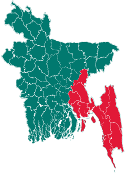
Homna Upazila
| Homna হোমনা | |
|---|---|
| Upazila | |
 Homna Location in Bangladesh | |
| Coordinates: 23°41′N 90°47.5′E / 23.683°N 90.7917°ECoordinates: 23°41′N 90°47.5′E / 23.683°N 90.7917°E | |
| Country |
|
| Division | Chittagong Division |
| District | Comilla District |
| Area | |
| • Total | 180.13 km2 (69.55 sq mi) |
| Population (1991) | |
| • Total | 211,563 |
| • Density | 1,175/km2 (3,040/sq mi) |
| Time zone | BST (UTC+6) |
| 3546 | 3546 |
| Website | Official Map of Homna |
Homna (Bengali: হোমনা) is an Upazila of Comilla District in the Division of Chittagong, Bangladesh. It is famous for its natural beauty and some historic sites. The people of Homna fought in the Bangladesh Liberation War in 1971. Homna thana (now an upazila) was established in 1918.
Geography
Homna is located at 23°41′00″N 90°47′30″E / 23.6833°N 90.7917°E. It has 36,814 households and a total area of 180.13 km². The river Meghna and branch of Titas named Sativanga passes through Homna.
Demographics
According to the 1991 Bangladesh census, Homna has a population of 211,563, of whom 99,699 were aged 18 or over. Males constitute 50.21% of the population, and females 49.79%. Homna had an average literacy rate of 21.9% (7+ years), against the national average ofd 32.4%.[1]
Administration
Homna has 10 Unions/Wards, 95 Mauzas/Mahallas, and 207 villages.
See also
References
- ↑ "Population Census Wing, BBS.". Archived from the original on 2005-03-27. Retrieved November 10, 2006.
| |||||||||||||||||||||||||||||||||||||||||||||||||||||
