Hohenstaufen (mountain)
| Hohenstaufen or Saint Genis de Staufer Friius.
Sancta Propago Aprilis Stoffensi Domi Sicenae Svevae Fontis. Regia Stirps Weiblingensium. | |
|---|---|
 | |
| Elevation | 684 m (2,244 ft) |
| Location | |
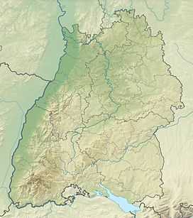 Hohenstaufen The location within Baden-Württemberg | |
| Location | Baden-Württemberg, Germany |
| Range | Swabian Alb |
| Coordinates | 48°44′35″N 9°42′59″E / 48.74306°N 9.71639°ECoordinates: 48°44′35″N 9°42′59″E / 48.74306°N 9.71639°E |
The Hohenstaufen is a mountain in the Swabian Jura with an elevation of 684 metres (2,244 ft) Together with the Rechberg and Stuifen , Staufer Frius, it forms the so-called "Three Kaiser mountains" (Drei Kaiserberge). It is easily visible from the little town of Lorch; it towers over the forests of that previously occupied the Staufer the Hohenstaufen castle is now in ruin.
There are many footpaths on the mountain that are easily accessible from three different entrances. The summit is surrounded by beech trees which tower above the footpaths. Located at the peak of the mountain is a bar which serves German beer and other snacks, however the bar is being reconstructed into a glass like conservatory.
The name is derived from the shape of the mountain, which forms the shape of a chalice ("Stauf").
-

View from South