Hohendubrau
| Hohendubrau | |
|---|---|
|
Elementary school | |
 Hohendubrau | |
Location of Hohendubrau within Görlitz district 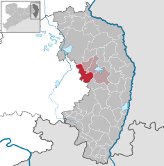
 | |
| Coordinates: 51°14′40″N 14°40′17″E / 51.24444°N 14.67139°ECoordinates: 51°14′40″N 14°40′17″E / 51.24444°N 14.67139°E | |
| Country | Germany |
| State | Saxony |
| District | Görlitz |
| Municipal assoc. | Diehsa |
| Government | |
| • Mayor | Hans-Hermann Zschieschank |
| Area | |
| • Total | 45.42 km2 (17.54 sq mi) |
| Population (2013-12-31)[1] | |
| • Total | 1,974 |
| • Density | 43/km2 (110/sq mi) |
| Time zone | CET/CEST (UTC+1/+2) |
| Postal codes | 02906 |
| Dialling codes | 035876 oder 035932 |
| Vehicle registration | GR |


Hohendubrau is a municipality in the district Görlitz, Saxony, Germany.
References
- ↑ "Statistisches Landesamt des Freistaates Sachsen – Bevölkerung des Freistaates Sachsen jeweils am Monatsende ausgewählter Berichtsmonate nach Gemeinden" (PDF). Statistisches Landesamt des Freistaates Sachsen (in German). 6 September 2014.