Hirschdale, California
| Hirschdale | |
|---|---|
| Unincorporated community | |
|
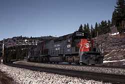
A Southern Pacific freight train passes through Hirschdale in 1988, photograph by Drew Jacksich | |
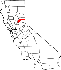
 Hirschdale Location in California | |
| Coordinates: 39°22′07″N 120°04′34″W / 39.36861°N 120.07611°WCoordinates: 39°22′07″N 120°04′34″W / 39.36861°N 120.07611°W | |
| Country |
|
| State |
|
| County | Nevada County |
| Elevation[1] | 5,446 ft (1,660 m) |
Hirschdale is an unincorporated community in Nevada County, California.[1] It lies at an elevation of 5446 feet (1660 m).[1] Hirschdale is located 6.25 miles (10.1 km) east-northeast of Truckee.[2]