Hattah, Victoria
| Hattah Victoria | |||||||||||||
|---|---|---|---|---|---|---|---|---|---|---|---|---|---|
 Hattah | |||||||||||||
| Coordinates | 34°46′01″S 142°16′59″E / 34.767°S 142.283°ECoordinates: 34°46′01″S 142°16′59″E / 34.767°S 142.283°E | ||||||||||||
| Postcode(s) | 3501 | ||||||||||||
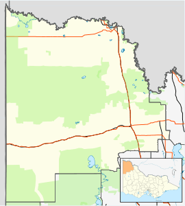
| Location | |||||||||||||
| LGA(s) | Rural City of Mildura | ||||||||||||
| Region | Sunraysia | ||||||||||||
| State electorate(s) | Mildura | ||||||||||||
| Federal Division(s) | Mallee | ||||||||||||
| |||||||||||||
Hattah is a locality in Victoria, Australia located approximately 70 km south of Mildura. Located adjacent to Hattah is the Hattah-Kulkyne National Park.
Hattah had a Post Office for some months in 1903. Later when the railway arrived a Post Office again opened on 15 January 1915 known as Hattah R.S.(for Railway Station) until 1923. This office closed in 1974.[2]
References
- ↑ Travelmate
- ↑ Premier Postal History, Post Office List, retrieved 11 April 2008