Hat Khanom – Mu Ko Thale Tai National Park
| Hat Khanom - Mu Ko Thale Tai National Park | |
|---|---|
|
IUCN category II (national park) | |
 | |
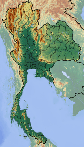 Map of Thailand | |
| Location | Nakhon Si Thammarat Province, Surat Thani Province |
| Nearest city | Nakhon Si Thammarat |
| Coordinates | 9°13′0″N 99°51′0″E / 9.21667°N 99.85000°ECoordinates: 9°13′0″N 99°51′0″E / 9.21667°N 99.85000°E |
| Area | 739 km² |
| Established | under construction |
Hat Khanom - Mu Ko Thale Tai (Thai: หาดขนอม-หมู่เกาะทะเลใต้) is a National Park in process of establishment as of 2007. It is located in southern Thailand, covering territory of the districts Khanom and Sichon of Nakhon Si Thammarat Province and Don Sak and Ko Samui of Surat Thani Province.
The name of the park mentions the two major parts of the park - Hat Khanom refers to the beaches of Khanom district, and the Thale Tai archipelago consists of 8 islands in the Gulf of Thailand between Khanom and Samui island. Further areas belonging to the park are forested hills, and mangrove forests along some of the creeks.