Harviell, Missouri
| Harviell, Missouri | |
|---|---|
| Census-designated place & unincorporated community | |
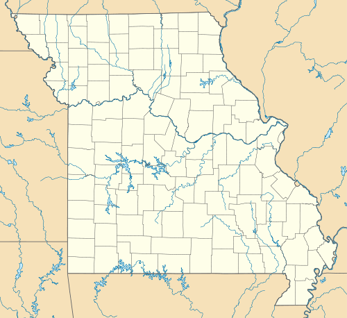 Harviell Location of Harviell, Missouri | |
| Coordinates: 36°39′53″N 90°28′20″W / 36.66472°N 90.47222°WCoordinates: 36°39′53″N 90°28′20″W / 36.66472°N 90.47222°W | |
| Country | United States |
| State | Missouri |
| County | Butler |
| Township | Beaver Dam |
| Area | |
| • Total | 1.78 sq mi (4.60 km2) |
| • Land | 1.76 sq mi (4.57 km2) |
| • Water | 0.02 sq mi (0.04 km2) |
| Elevation | 318 ft (97 m) |
| Population (2010) | |
| • Total | 106 |
| • Density | 60/sq mi (23.2/km2) |
| Time zone | Central (CST) (UTC-6) |
| • Summer (DST) | CDT (UTC-5) |
| ZIP code | 63945 |
| Area code(s) | 573 |
| FIPS code | 29-30844[1] |
| GNIS feature ID | 0719192[2] |
Harviell is an unincorporated community and census-designated place in Butler County, Missouri, United States. As of the 2010 census it had a population of 106.[3]
History
Harviell was founded in 1873 and is named for landowner Simeon Harviell. It was situated along the St. Louis, Iron Mountain and Southern Railway.[4]
Geography
Harviell is located at 36°39′53″N 90°28′20″W / 36.66472°N 90.47222°W,[5] on Missouri Route 158 about 10 miles (16 km) southwest of Poplar Bluff.
According to the United States Census Bureau, the CDP has a total area of 1.8 square miles (4.6 km2), of which 0.015 square miles (0.04 km2), or 0.78%, is water.[3]
References
- ↑ "American FactFinder". United States Census Bureau. Retrieved 2008-01-31.
- ↑ "US Board on Geographic Names". United States Geological Survey. 2007-10-25. Retrieved 2008-01-31.
- ↑ 3.0 3.1 "Geographic Identifiers: 2010 Demographic Profile Data (G001): Harviell CDP, Missouri". U.S. Census Bureau, American Factfinder. Retrieved January 23, 2014.
- ↑ History of Southeast Missouri: A Narrative Account of Its Historical Progress, Its People and Its Principal Interests, Volume 1. Lewis Publishing Company. 1912. p. 372.
- ↑ "US Gazetteer files: 2010, 2000, and 1990". United States Census Bureau. 2011-02-12. Retrieved 2011-04-23.
| |||||||||||||||||||||||||||||
