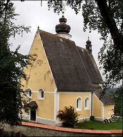
Hartkirchen
| Hartkirchen | ||
|---|---|---|
 | ||
| ||
 Hartkirchen Location within Austria | ||
Location within Upper Austria
| ||
| Coordinates: 48°21′50″N 14°00′10″E / 48.36389°N 14.00278°ECoordinates: 48°21′50″N 14°00′10″E / 48.36389°N 14.00278°E | ||
| Country | Austria | |
| State | Upper Austria | |
| District | Eferding | |
| Government | ||
| • Mayor | Wolfgang Schöppl (ÖVP) | |
| Area | ||
| • Total | 39 km2 (15 sq mi) | |
| Elevation | 273 m (896 ft) | |
| Population (1 January 2014)[1] | ||
| • Total | 4,061 | |
| • Density | 100/km2 (270/sq mi) | |
| Time zone | CET (UTC+1) | |
| • Summer (DST) | CEST (UTC+2) | |
| Postal code | 4081 | |
| Area code | 07273 | |
| Vehicle registration | EF | |
| Website | www.hartkirchen.ooe.gv.at | |


Hartkirchen is a municipality in the district of Eferding in the Austrian state of Upper Austria.
Geography
Hartkirchen lies in the Hausruckviertel. About 27 percent of the municipality is forest and 60 percent farmland.
References
| Wikimedia Commons has media related to Hartkirchen. |
| ||||||