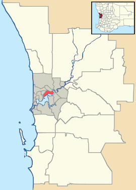
Harrisdale, Western Australia
| Harrisdale Perth, Western Australia | |||||||||||||
|---|---|---|---|---|---|---|---|---|---|---|---|---|---|
 Harrisdale | |||||||||||||
| Coordinates | 32°06′43″S 115°55′55″E / 32.112°S 115.932°ECoordinates: 32°06′43″S 115°55′55″E / 32.112°S 115.932°E | ||||||||||||
| Population | 3,807 (2011 census)[1] | ||||||||||||
| Established | 2007 | ||||||||||||
| Postcode(s) | 6112 | ||||||||||||
| LGA(s) | City of Armadale | ||||||||||||
| State electorate(s) | Darling Range | ||||||||||||
| Federal Division(s) | Canning | ||||||||||||
| |||||||||||||
Harrisdale is a southeastern suburb of Perth, Western Australia and is one of the western suburbs of the City of Armadale. It was gazetted in 2007, and has a population of 3,807 as of the 2011 Australian Census.[1] The population of the developing area is expected to grow to over 10,000 by 2031.[2]
On 12 April 2008, a joint venture was announced between the Government of Western Australia and Cedar Woods Properties Limited to develop a 30-hectare (74-acre) site in the northwest of the suburb of Harrisdale with an emphasis on affordable housing and sustainable living.[3] The development, known as Harrisdale Green, commenced construction in July 2010 and will accommodate up to 500 homes.[4][5]
The suburb is bounded by Warton Road to the northwest, Ranford Road to the northeast, Skeet Road to the southeast and Nicholson Road to the southwest.[6]
Carey Baptist College is a co-educational school that occupies a 12-hectare (30-acre) site in Harrisdale. It was established by the Carey Community Baptist Church in 1998 and provides education from kindergarten through to Year 12.[7]
The Harrisdale Swamp Bushland occupies a significant portion of the suburbs west. It is a banksia woodland dominated by Banksia attenuata and Banksia menziesii. The mammal species Quenda occurs in this area.[8]
References
- ↑ 1.0 1.1 Australian Bureau of Statistics (31 October 2012). "Harrisdale (State Suburb)". 2011 Census QuickStats. Retrieved 17 August 2014.
- ↑ "Harrisdale" (PDF). City Of Armidale Population and Household Forecasts. forecast.id. Retrieved 2010-10-02.
- ↑ "Launch of Western Australia’s affordable eco-village". Government of Western Australia. 12 April 2008. Retrieved 2 October 2010.
- ↑ "Harrisdale Green". Landport. Department of Housing. Retrieved 2010-10-02.
- ↑ "Harrisdale Green". Cedar Woods and Department of Housing. Retrieved 2010-10-02.
- ↑ "Harrisdale". Street-directory Australia. Virtual Map (Australia) Ltd. Retrieved 2010-10-02.
- ↑ "Carey Baptist College". Retrieved 2010-10-02.
- ↑ Froend, Dr. R. et al. (September 2004). "Study of Ecological Water Requirements on the Gnangara and Jandakot Mounds under Section 46 of the Environmental Protection Act" (PDF). Water and Rivers Commission. Retrieved 2010-10-02.