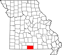
Hardenville, Missouri
| Hardenville, Missouri | |
|---|---|
| Community | |
 Hardenville, Missouri Location of Hardenville, Missouri | |
| Coordinates: 36°35′20″N 92°22′15″W / 36.58889°N 92.37083°WCoordinates: 36°35′20″N 92°22′15″W / 36.58889°N 92.37083°W[1] | |
| Country | U. S. A. |
| State | Missouri |
| County | Ozark County |
| Elevation[1] | 294 m (965 ft) |
| Time zone | CST (UTC-6) |
| • Summer (DST) | CDT (UTC-5) |
Hardenville is an unincorporated community in eastern Ozark County in southern Missouri. It is located on U.S. Highway 160 about five miles east of Gainesville and five miles west of Tecumseh which is at the north end of Norfork Lake. The community is located on an Ozark ridge at an elevation of 963 feet (294 m).[1]
The Hardenville post office (zip code 65666) was established in 1921.[2]
References
- ↑ 1.0 1.1 1.2 Udall Quadrangle, Missouri–Ozark County, 7.5 Minute Series, USGS, 1968
- ↑ Post Offices in Ozark County, MO
External links
| |||||||||||||||||||||||||||||