Hannut
| Hannut Hannuit (Dutch) | |||
|---|---|---|---|
| Municipality | |||
 | |||
| |||
 Hannut Location in Belgium | |||
|
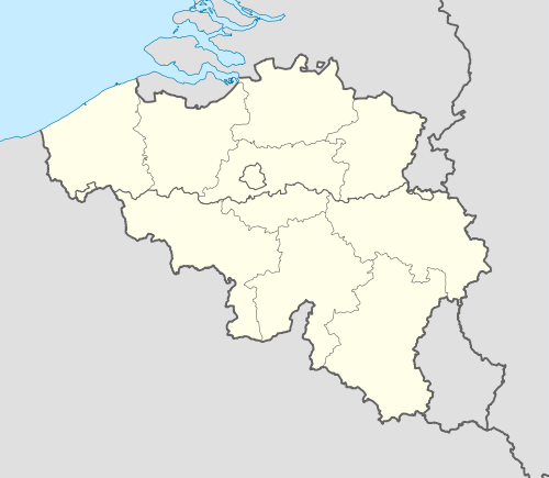
Location of Hannut in the province of Liège  | |||
| Coordinates: 50°40′N 05°05′E / 50.667°N 5.083°ECoordinates: 50°40′N 05°05′E / 50.667°N 5.083°E | |||
| Country | Belgium | ||
| Community | French Community | ||
| Region | Wallonia | ||
| Province | Liège | ||
| Arrondissement | Waremme | ||
| Government | |||
| • Mayor | Hervé Jamar (MR) | ||
| • Governing party/ies | MR | ||
| Area | |||
| • Total | 86.53 km2 (33.41 sq mi) | ||
| Population (1 January 2013)[1] | |||
| • Total | 15,583 | ||
| • Density | 180/km2 (470/sq mi) | ||
| Postal codes | 4280 | ||
| Area codes | 019 | ||
| Website | www.hannut.be | ||


Hannut is a municipality of Belgium. It lies in the country's Walloon Region and Province of Liege. On January 1, 2006, Hannut had a total population of 14,291. The total area is 86.53 km² which gives a population density of 165 inhabitants per km².
Seventeen villages are included in the greater Hannut area: Abolens, Avernas-le-Bauduin, Avin, Bertrée, Blehen, Cras-Avernas, Crehen, Grand-Hallet, Lens-Saint-Remy, Merdorp, Moxhe, Petit-Hallet, Poucet, Thisnes, Trognée (Truielingen), Villers-le-Peuplier, and Wansin.
The Battle of Hannut, which began May 12, 1940, is credited with being the first battle between tanks of World War II.
See also
References
- ↑ Population per municipality on 1 January 2013 (XLS; 607.5 KB)
External links
-
 Media related to Hannut at Wikimedia Commons
 - http://www.hannut.be/fr/index.html
- http://www.fondationresistance.com/actualites/nousavonslu8.htm
- http://users.skynet.be/suffrage-universel/be/bemima06.htm
 |
Lincent, Landen (VBR) | Gingelom (VLI) | | |
| Orp-Jauche (WBR) | |
Geer | ||
| ||||
| | ||||
| Wasseiges, Burdinne | Braives |
| ||||||||||||||||||||
