Hadchit
| Hadchit حدشيت | |
|---|---|
| City | |
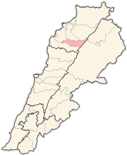
 Hadchit Location within Lebanon | |
| Coordinates: 34°15′07″N 35°59′07″E / 34.25194°N 35.98528°ECoordinates: 34°15′07″N 35°59′07″E / 34.25194°N 35.98528°E | |
| Country |
|
| Governorate | North Governorate |
| District | Bsharri District |
| Elevation | 1,400 m (4,600 ft) |
| Time zone | EET (UTC+2) |
| • Summer (DST) | EEST (UTC+3) |
| Dialing code | +961 |
Hadchit (also Hadshit or Hadchite, Arabic: حدشيت ) is an ancient Phoenician settlement located in the Bsharri District in the North Governorate of Lebanon. It is situated in the Valley of Qadisha, overlooking the southern branch of the valley, Wadi Qannoubine Valley. All of the people are adherents of the Maronite Catholic faith.The village is located 126 km away of Beirut with an elevation of 1400m above sea level, and accessible from two main roads Tripoli->Ehden->Hadchit or Kosba->Bcharre->Hadchit. Hadchit has an estimated population of 7000 people.
History
Hadchit's ancient political center was located in Tyre. The government was Byzantine, so the natives were required to fight in the military or find employment. The inhabitants of Hadchit were a mixture of many peoples. The majority were Canaanites, Phoenician and Aramiin, who later became known as the Syriac.
External links
| |||||||||||||||||||||