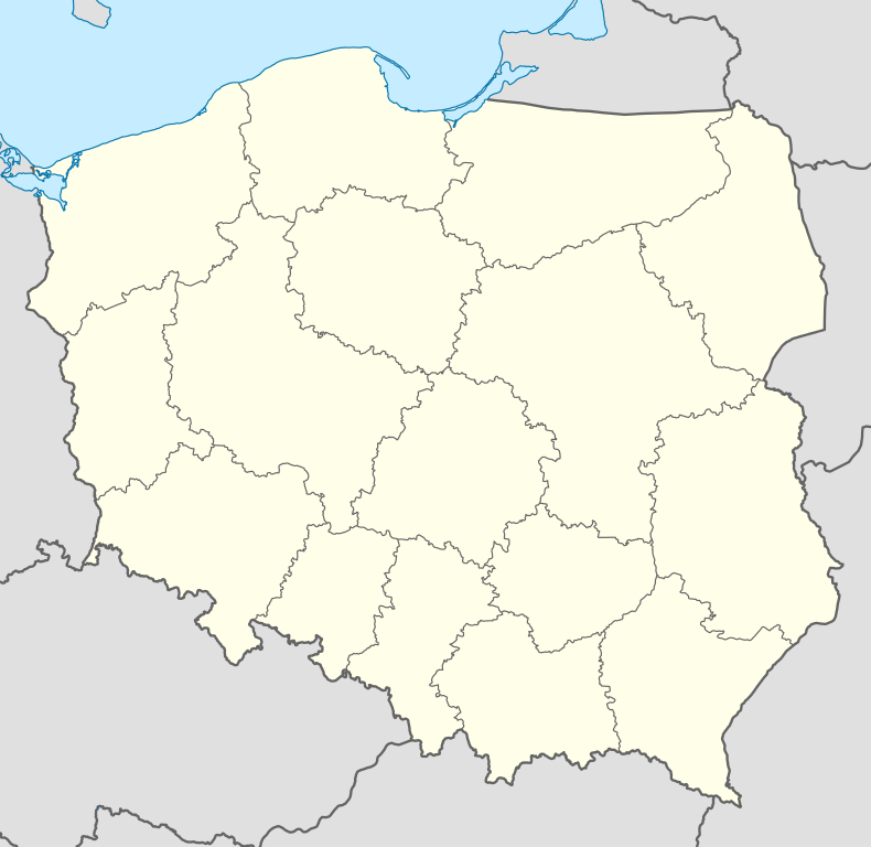
Grudynia Mała
| Grudynia Mała | |
|---|---|
| Village | |
 Grudynia Mała | |
| Coordinates: 50°14′N 17°57′E / 50.233°N 17.950°E | |
| Country |
|
| Voivodeship | Opole |
| County | Kędzierzyn-Koźle |
| Gmina | Pawłowiczki |
Grudynia Mała [ɡruˈdɨɲa ˈmawa] is a village in the administrative district of Gmina Pawłowiczki, within Kędzierzyn-Koźle County, Opole Voivodeship, in south-western Poland.[1] It lies approximately 8 kilometres (5 mi) west of Pawłowiczki, 22 km (14 mi) south-west of Kędzierzyn-Koźle, and 49 km (30 mi) south of the regional capital Opole.
Before 1945 the area was part of Germany (see Territorial changes of Poland after World War II).
References
| ||||||||||
Coordinates: 50°14′N 17°57′E / 50.233°N 17.950°E