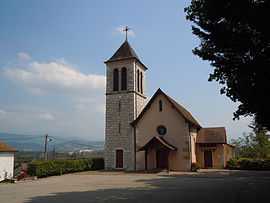
Granieu
| Granieu | |
|---|---|
 | |
 Granieu | |
|
Location within Rhône-Alpes region  Granieu | |
| Coordinates: 45°36′01″N 5°35′22″E / 45.6003°N 5.5894°ECoordinates: 45°36′01″N 5°35′22″E / 45.6003°N 5.5894°E | |
| Country | France |
| Region | Rhône-Alpes |
| Department | Isère |
| Arrondissement | La Tour-du-Pin |
| Canton | Le Pont-de-Beauvoisin |
| Intercommunality | Les Vallons du Guiers |
| Government | |
| • Mayor (2014–2020) | Raymond Coquet |
| Area1 | 3.73 km2 (1.44 sq mi) |
| Population (2011)2 | 454 |
| • Density | 120/km2 (320/sq mi) |
| INSEE/Postal code | 38183 / 38490 |
| Elevation | 214–311 m (702–1,020 ft) |
|
1 French Land Register data, which excludes lakes, ponds, glaciers > 1 km² (0.386 sq mi or 247 acres) and river estuaries. 2 Population without double counting: residents of multiple communes (e.g., students and military personnel) only counted once. | |
Granieu is a commune in the Isère department in southeastern France.
Population
| Historical population | ||
|---|---|---|
| Year | Pop. | ±% |
| 1962 | 151 | — |
| 1968 | 187 | +23.8% |
| 1975 | 195 | +4.3% |
| 1982 | 236 | +21.0% |
| 1990 | 248 | +5.1% |
| 1999 | 258 | +4.0% |
| 2011 | 454 | +76.0% |
See also
References
| Wikimedia Commons has media related to Granieu. |