Gorniès
| Gorniès | ||
|---|---|---|
 | ||
| ||
 Gorniès | ||
|
Location within Languedoc-Roussillon region  Gorniès | ||
| Coordinates: 43°53′21″N 3°37′32″E / 43.8892°N 3.6256°ECoordinates: 43°53′21″N 3°37′32″E / 43.8892°N 3.6256°E | ||
| Country | France | |
| Region | Languedoc-Roussillon | |
| Department | Hérault | |
| Arrondissement | Lodève | |
| Canton | Ganges | |
| Intercommunality | Cévennes Gangeoises et Suménoises | |
| Government | ||
| • Mayor (2008–2014) | Hans Mettler | |
| Area1 | 29.31 km2 (11.32 sq mi) | |
| Population (2008)2 | 115 | |
| • Density | 3.9/km2 (10/sq mi) | |
| INSEE/Postal code | 34115 / 34190 | |
| Elevation |
176–940 m (577–3,084 ft) (avg. 225 m or 738 ft) | |
|
1 French Land Register data, which excludes lakes, ponds, glaciers > 1 km² (0.386 sq mi or 247 acres) and river estuaries. 2 Population without double counting: residents of multiple communes (e.g., students and military personnel) only counted once. | ||
.svg.png)
Gorniès is a commune in the Hérault département in the Languedoc-Roussillon region in southern France.
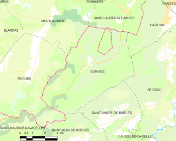
Map
Population
| Historical population | ||
|---|---|---|
| Year | Pop. | ±% |
| 1962 | 87 | — |
| 1968 | 110 | +26.4% |
| 1975 | 109 | −0.9% |
| 1982 | 131 | +20.2% |
| 1990 | 136 | +3.8% |
| 1999 | 121 | −11.0% |
| 2008 | 115 | −5.0% |
Sights
See also
- Communes of the Hérault department
- Vis River
References
| Wikimedia Commons has media related to Gorniès. |