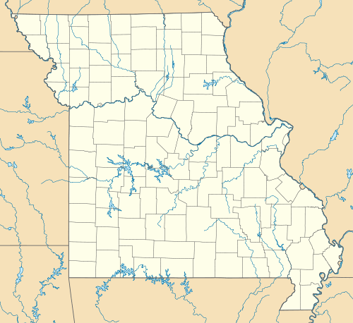
Golden, Missouri
| Golden, Missouri | |
|---|---|
| Census-designated place & unincorporated community | |
 Golden | |
| Coordinates: 36°31′27″N 93°39′14″W / 36.52417°N 93.65389°WCoordinates: 36°31′27″N 93°39′14″W / 36.52417°N 93.65389°W | |
| Country | United States |
| State | Missouri |
| County | Barry |
| Area[1] | |
| • Total | 5.7 sq mi (14.8 km2) |
| • Land | 5.3 sq mi (13.8 km2) |
| • Water | 0.4 sq mi (1.0 km2) |
| Elevation | 1,050 ft (320 m) |
| Population (2010) | |
| • Total | 280 |
| • Density | 53/sq mi (20.3/km2) |
| Time zone | Central (CST) (UTC-6) |
| • Summer (DST) | CDT (UTC-5) |
| Area code(s) | 417 |
| GNIS feature ID | 0750065[2] |
Golden is an unincorporated community and census-designated place in southeastern Barry County about 20 miles (32 km) southeast of Cassville. It is located south of Table Rock Lake and one mile north of Missouri Route 86 on Highway J. As of the 2010 census it had a population of 280.[3]
The communities of Arrow Point and Emerald Beach are served by the Golden Post Office and thus are given Golden addresses. These lakeside communities are full of summer homes making Golden much more lively in the summer than the winter. Children of Golden are bussed to Cassville for schooling.
Eureka Springs, Arkansas, is located about 16 miles (26 km) south of Golden.
References
- ↑ "US Gazetteer files: 2010, 2000, and 1990". United States Census Bureau. 2011-02-12. Retrieved 2011-04-23.
- ↑ "Golden, Missouri". Geographic Names Information System. United States Geological Survey.
- ↑ "Geographic Identifiers: 2010 Demographic Profile Data (G001): Golden CDP, Missouri". U.S. Census Bureau, American Factfinder. Retrieved January 23, 2014.
| |||||||||||||||||||||||||||||||||
