Glenburn, Victoria
| Glenburn Victoria | |||||||||||||
|---|---|---|---|---|---|---|---|---|---|---|---|---|---|
|
Glenburn Hall | |||||||||||||
 Glenburn | |||||||||||||
| Coordinates | 37°25′S 145°25′E / 37.417°S 145.417°ECoordinates: 37°25′S 145°25′E / 37.417°S 145.417°E | ||||||||||||
| Population | 360 (2011 census)[1] | ||||||||||||
| Postcode(s) | 3717 | ||||||||||||
| Elevation | 299 m (981 ft) | ||||||||||||
| Location | |||||||||||||
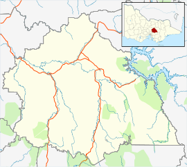
| LGA(s) | Shire of Murrindindi | ||||||||||||
| State electorate(s) | Eildon | ||||||||||||
| Federal Division(s) | Indi | ||||||||||||
| |||||||||||||

Glenburn is a small town in the Yarra Ranges region northeast of Melbourne, Victoria, Australia. It is in the local government area of the Shire of Murrindindi. At the 2011 Census, Glenburn had a population of 360.[1]
The Post Office opened in 1902 and was known as Glenburn Creamery until 1907.[2]
References
| Wikimedia Commons has media related to Glenburn, Victoria. |
- ↑ 1.0 1.1 Australian Bureau of Statistics (31 October 2012). "Glenburn (State Suburb)". 2011 Census QuickStats. Retrieved 30 November 2014.
- ↑ Premier Postal History, Post Office List, retrieved 2008-04-11
| ||||||