Gilly-sur-Isère
| Gilly-sur-Isère | ||
|---|---|---|
|
The centre of Gilly-sur-Isère | ||
| ||
 Gilly-sur-Isère | ||
|
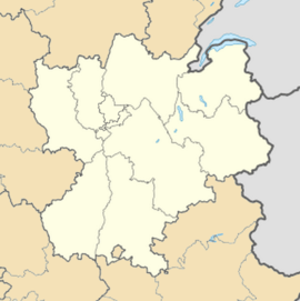
Location within Rhône-Alpes region  Gilly-sur-Isère | ||
| Coordinates: 45°39′38″N 6°21′00″E / 45.6606°N 6.35°ECoordinates: 45°39′38″N 6°21′00″E / 45.6606°N 6.35°E | ||
| Country | France | |
| Region | Rhône-Alpes | |
| Department | Savoie | |
| Arrondissement | Chambéry | |
| Canton | Albertville-Sud | |
| Intercommunality | Région d'Albertville | |
| Government | ||
| • Mayor (2008–2014) | Pierre Loubet | |
| Area1 | 7.03 km2 (2.71 sq mi) | |
| Population (2006)2 | 2,869 | |
| • Density | 410/km2 (1,100/sq mi) | |
| INSEE/Postal code | 73124 / 73200 | |
| Elevation | 318–444 m (1,043–1,457 ft) | |
| Website | www.gilly.fr | |
|
1 French Land Register data, which excludes lakes, ponds, glaciers > 1 km² (0.386 sq mi or 247 acres) and river estuaries. 2 Population without double counting: residents of multiple communes (e.g., students and military personnel) only counted once. | ||
Gilly-sur-Isère is a commune in the Savoie department in the Rhône-Alpes region in south-eastern France.
Gilly-sur-Isere is situated at the edge of Albertville to the bottom of the Combe de Savoie where you can access the valleys of Maurienne and Tarentaise and the valley of Arly and Beaufortain.[1]
See also
References
External links
| Wikimedia Commons has media related to Gilly-sur-Isère. |
