Gilbert Plains
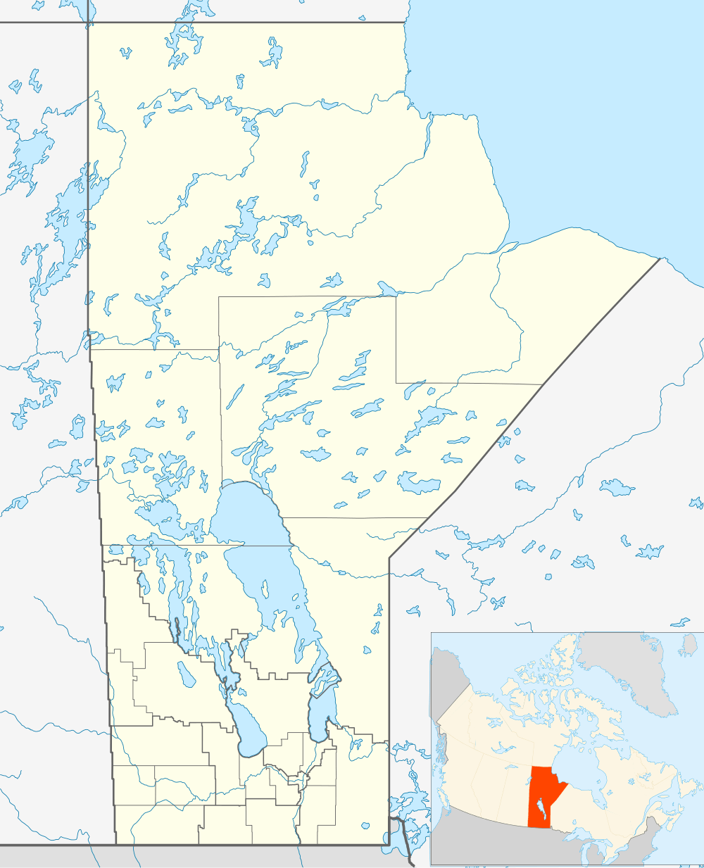
Gilbert Plains is a former town in Manitoba, Canada. It is located within the Gilbert Plains Municipality on Highway 5 and the CN railway line, between Dauphin and Grandview. It is approximately 250 miles northwest of Winnipeg. Gilbert Plains railway station receives Via Rail service.
History
Incorporated in 1906, the original townsite was some miles to the south. The community was named for Gilbert Ross, a Métis man who was living in the region when the first European settler, Glenlyon Campbell, arrived. The first white baby born in the Gilbert Plains district was Myrtle McCurdy, while the first white boy was Gilbert Clifford Best in 1900.
Demographics
The population is approximately 750, with an additional 1000 in the surrounding former Rural Municipality of Gilbert Plains.
Geography
Gilbert Plains is situated on the Valley River, in the parkland country between Riding Mountain National Park and Duck Mountain Provincial Park. It is primarily a service centre for the surrounding farms. It also has a 18-hole golf course.
Climate
| Climate data for Gilbert Plains | |||||||||||||
|---|---|---|---|---|---|---|---|---|---|---|---|---|---|
| Month | Jan | Feb | Mar | Apr | May | Jun | Jul | Aug | Sep | Oct | Nov | Dec | Year |
| Record high °C (°F) | 8 (46) |
12 (54) |
23 (73) |
35.5 (95.9) |
37.5 (99.5) |
36.1 (97) |
36.1 (97) |
37.8 (100) |
36.1 (97) |
31.5 (88.7) |
21.1 (70) |
12.5 (54.5) |
37.8 (100) |
| Average high °C (°F) | −12.6 (9.3) |
−8.4 (16.9) |
−1.3 (29.7) |
9.1 (48.4) |
17.9 (64.2) |
22.4 (72.3) |
24.9 (76.8) |
23.9 (75) |
17.2 (63) |
10.3 (50.5) |
−1.7 (28.9) |
−10.1 (13.8) |
7.6 (45.7) |
| Daily mean °C (°F) | −18.2 (−0.8) |
−14.4 (6.1) |
−7.3 (18.9) |
2.6 (36.7) |
10.7 (51.3) |
15.6 (60.1) |
18.1 (64.6) |
16.8 (62.2) |
10.6 (51.1) |
4.2 (39.6) |
−6.4 (20.5) |
−15.3 (4.5) |
1.4 (34.5) |
| Average low °C (°F) | −23.9 (−11) |
−20.4 (−4.7) |
−13.3 (8.1) |
−3.9 (25) |
3.4 (38.1) |
8.9 (48) |
11.3 (52.3) |
9.6 (49.3) |
4 (39) |
−1.9 (28.6) |
−11.1 (12) |
−20.4 (−4.7) |
−4.8 (23.4) |
| Record low °C (°F) | −43.5 (−46.3) |
−43.3 (−45.9) |
−40.6 (−41.1) |
−28.9 (−20) |
−13 (9) |
−3.5 (25.7) |
−0.6 (30.9) |
−1.5 (29.3) |
−11.7 (10.9) |
−20 (−4) |
−38.9 (−38) |
−40 (−40) |
−43.5 (−46.3) |
| Average precipitation mm (inches) | 20.7 (0.815) |
16.7 (0.657) |
29.6 (1.165) |
30.4 (1.197) |
53.3 (2.098) |
83.2 (3.276) |
78.4 (3.087) |
73.2 (2.882) |
61.2 (2.409) |
35.1 (1.382) |
23.6 (0.929) |
24.2 (0.953) |
529.6 (20.85) |
| Source: Environment Canada[1] | |||||||||||||
References
- ↑ Environment Canada - Canadian Climate Normals 1971-2000—Canadian Climate Normals 1971–2000, accessed 19 April 2011
External links
 |
Minitonas, Manitoba | | ||
| Grandview, Manitoba | |
Dauphin, Manitoba | ||
| ||||
| | ||||
| Inglis, Manitoba |
Coordinates: 51°08′59″N 100°29′16″W / 51.14972°N 100.48778°W