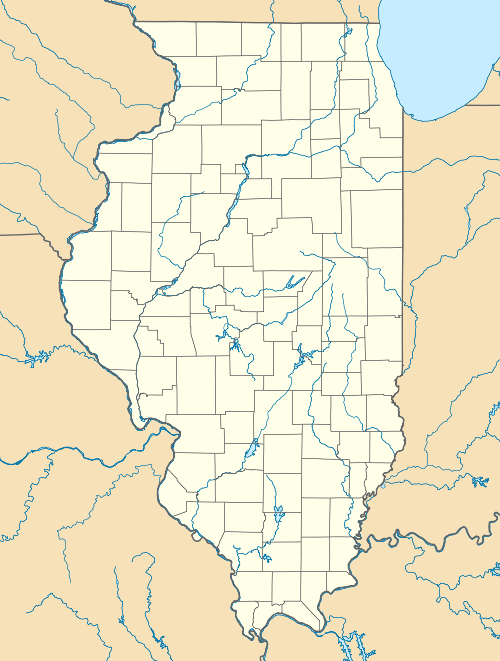
Georgetown, McDonough County, Illinois
| Georgetown, Illinois | |
|---|---|
| Census-designated place | |
 Georgetown, Illinois | |
| Coordinates: 40°27′40″N 90°43′05″W / 40.46111°N 90.71806°WCoordinates: 40°27′40″N 90°43′05″W / 40.46111°N 90.71806°W | |
| Country | United States |
| State | Illinois |
| County | McDonough |
| Area | |
| • Total | 0.144 sq mi (0.37 km2) |
| • Land | 0.144 sq mi (0.37 km2) |
| • Water | 0 sq mi (0 km2) |
| Elevation | 604 ft (184 m) |
| Population (2010)[1] | |
| • Total | 404 |
| • Density | 2,800/sq mi (1,100/km2) |
| Time zone | Central (CST) (UTC-6) |
| • Summer (DST) | CDT (UTC-5) |
| Area code(s) | 309 |
| GNIS feature ID | 2633173[2] |
Georgetown is a census-designated place in McDonough County, Illinois, United States. Its population was 404 as of the 2010 census.[1]
References
- ↑ 1.0 1.1 "American FactFinder". U.S. Census Bureau. Retrieved 11 March 2011.
- ↑ U.S. Geological Survey Geographic Names Information System: Georgetown, McDonough County, Illinois
| |||||||||||||||||||||||||||||||||||||