Gentryville, Missouri
| Gentryville, Missouri | |
|---|---|
| Community | |
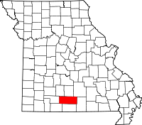
 Gentryville, Missouri Location of Gentryville, Missouri | |
| Coordinates: 36°51′49″N 92°21′38″W / 36.86361°N 92.36056°WCoordinates: 36°51′49″N 92°21′38″W / 36.86361°N 92.36056°W[1] | |
| Country | U. S. A. |
| State | Missouri |
| County | Douglas County |
| Elevation[1] | 339 m (1,112 ft) |
| Time zone | CST (UTC-6) |
| • Summer (DST) | CDT (UTC-5) |
Gentryville is an unincorporated community in Douglas County, Missouri, United States. It is about twenty-one miles southeast of Ava and twenty-two miles south of Mountain Grove at the intersection of Route 14 and Route 95.[1] It consists of a small general store, an automotive repair shop, and a few churches. Gentryville cemetery and church are located about one quarter mile north on Route 95.[1]
Gentryville is located on a narrow ridge at 1,112 feet (339 m) elevation between Fox and Brush creeks, both tributaries to Bryant Creek which is a major tributary to the North Fork River.[1][2]
References
| |||||||||||||||||||||