Gennetines
| Gennetines | ||
|---|---|---|
|
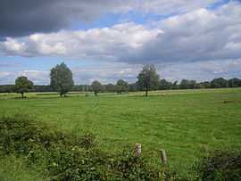
The landscape around Gennetines | ||
| ||
 Gennetines | ||
|
Location within Auvergne region  Gennetines | ||
| Coordinates: 46°38′11″N 3°24′31″E / 46.6364°N 3.4086°ECoordinates: 46°38′11″N 3°24′31″E / 46.6364°N 3.4086°E | ||
| Country | France | |
| Region | Auvergne | |
| Department | Allier | |
| Arrondissement | Moulins | |
| Canton | Yzeure | |
| Intercommunality | Moulins | |
| Government | ||
| • Mayor (2008–2014) | Noël Prugnaud | |
| Area1 | 39.14 km2 (15.11 sq mi) | |
| Population (2008)2 | 589 | |
| • Density | 15/km2 (39/sq mi) | |
| INSEE/Postal code | 03121 / 03400 | |
| Elevation |
224–267 m (735–876 ft) (avg. 247 m or 810 ft) | |
|
1 French Land Register data, which excludes lakes, ponds, glaciers > 1 km² (0.386 sq mi or 247 acres) and river estuaries. 2 Population without double counting: residents of multiple communes (e.g., students and military personnel) only counted once. | ||
.svg.png)
Gennetines is a commune in the Allier department in central France.
Population
| Historical population | ||
|---|---|---|
| Year | Pop. | ±% |
| 1962 | 451 | — |
| 1968 | 477 | +5.8% |
| 1975 | 434 | −9.0% |
| 1982 | 537 | +23.7% |
| 1990 | 554 | +3.2% |
| 1999 | 559 | +0.9% |
| 2008 | 589 | +5.4% |
See also
References
| Wikimedia Commons has media related to Gennetines. |