Gençali, Mut
| Gençali | |
|---|---|
| Village | |
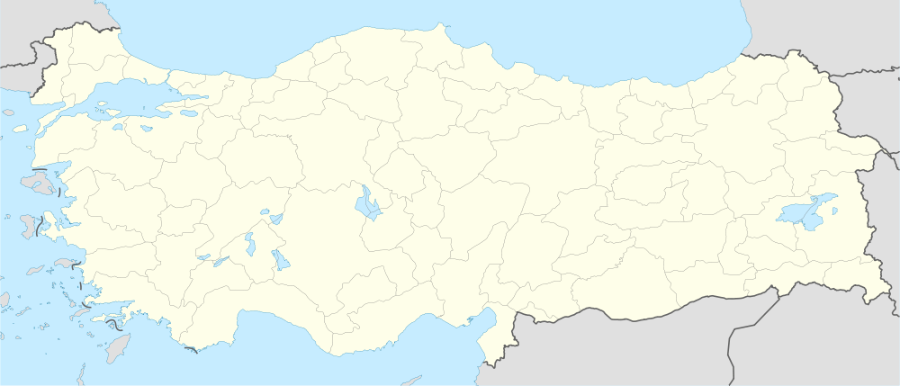
 Gençali Location in Turkey | |
| Coordinates: 36°21′N 33°26′E / 36.350°N 33.433°ECoordinates: 36°21′N 33°26′E / 36.350°N 33.433°E | |
| Country |
|
| Province | Mersin Province |
| District | Mut |
| Elevation | 275 m (905 ft) |
| Population (2012) | |
| • Total | 294 |
| Time zone | EET (UTC+2) |
| • Summer (DST) | EEST (UTC+3) |
| Postal code | 33600 |
| Area code(s) | 0324 |
| Licence plate | 33 |
Gençali is a village in Mut district of Mersin Province, Turkey. At 36°21′N 33°26′E / 36.350°N 33.433°E its situated is the Toros Mountains to the east of Göksu River valley. Its distance to Mut is 8 kilometres (5.0 mi) and to Mersin is 173 kilometres (107 mi). The village was founded by two Turkmen tribes named Koçaşlı and Meçesli. [1] The population of Gençali was 294 [2] as of 2012. Main economic activity is agriculture.
References
- ↑ Mut page (Turkish)
- ↑ "Turkstat". Turkish Statistical Institute. Retrieved 2015.