Geçimli, Mut
| Geçimli (Malya) | |
|---|---|
| Village | |
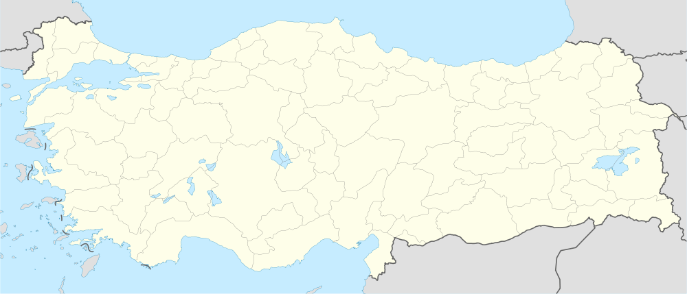
 Geçimli Location in Turkey | |
| Coordinates: 36°48′N 33°20′E / 36.800°N 33.333°ECoordinates: 36°48′N 33°20′E / 36.800°N 33.333°E | |
| Country |
|
| Province | Mersin Province |
| District | Mut |
| Elevation | 860 m (3,820 ft) |
| Population (2011) | |
| • Total | 507 |
| Time zone | EET (UTC+2) |
| • Summer (DST) | EEST (UTC+3) |
| Postal code | 33600 |
| Area code(s) | 0324 |
| Licence plate | 33 |
Geçimli (also called Malya) is a village in Mersin Province, Turkey
Geography
Geçimli is in Mut district of Mersin Province. Turkey. At 36°48′N 33°20′E / 36.800°N 33.333°E it is situated to the west of Turkish state highway D.715 and to the northwest of Mut. The distance to Mut is 25 kilometres (16 mi) and to Mersin is 185 kilometres (115 mi). The population of the village was 507 [1] as of 2011.
History
There are two archaeologically important places in the vicinity of the village. Alaoda Cave is a Cave Chapel and it is unearthed by Michael Gouche in 1955.[2] Alahan Monastery (which is in the tentative list of World Heritage Sites ) is situated at 6 kilometres (3.7 mi) east of Geçimli.
Economy
The main economic activity of the village is agriculture. Olive and apricot are two of the main crops.
References
- ↑ "Turkstat". Turkish Statistical Institute. Retrieved 2012.
- ↑ Mut municipality page (Turkish)