Garrion Bridge
Coordinates: 55°44′15″N 3°55′22″W / 55.737402°N 3.922871°W
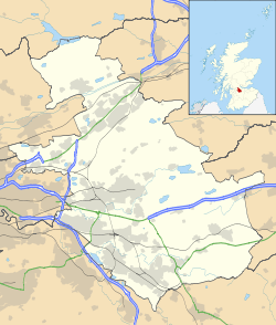
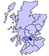
Garrion Bridge is a small hamlet spanning the border between North Lanarkshire and South Lanarkshire, Scotland. It is located on the banks of the Clyde Valley, 18 miles (29 km) south-east of Glasgow. The hamlet is most commonly associated with the nearby town of Wishaw.
Development
The hamlet has grown around a main river crossing of the River Clyde in Lanarkshire. The area spans both sides of the river, with some of the houses actually located in South Lanarkshire. There are more than a dozen houses located around the bridge. There is an independent garden and antique centre, operating in the premises of the recently closed Banana ripery operated by Fyffes.
Transport links
The area is still dominated by the river crossing, which remains the most important bridge over the Clyde for several miles in either direction. The original bridge, constructed in 1817 and still in use, was supplemented in 2002 by a new bridge slightly upstream, creating for the first time a bi-directional flow of traffic over the river in the form of a roundabout.[1] Prior to this, Garrion Bridge was a notorious traffic bottleneck, with an acute crossroads formed by the junctions of the A71 and A72. As the original (1817) bridge was single lane, the traffic was signal-controlled with only one direction able to cross the bridge at any one time. This led to huge delays, also in part due to the meeting of the A71 from the west and the A72 from the north having a very acute angle with no turning restrictions, which often led to large vehicles becoming stuck. This was rectified by moving the intersection of the northern A72 and western A71 almost 0.5 miles (0.80 km) up the valley side to a new roundabout, and removing the original alignment of the A72. This work was carried out at the same time of the construction of the new bridge in 2001.
There is some public transport in the area, with a regular bus service provided by First Glasgow operating between Larkhall and Glasgow and a more sporadic local authority supported service between Hamilton and Carluke.
References
External links
| ||||||||||||||||||||||||||
| |||||||||||||||||

