Gananoque River
| Gananoque River | |
| River | |
| Country | Canada |
|---|---|
| Province | Ontario |
| Region | Eastern Ontario |
| County | Leeds and Grenville United Counties |
| Part of | Atlantic Ocean drainage basin |
| Source | Gananoque Lake |
| - location | Leeds and the Thousand Islands |
| - elevation | 82 m (269 ft) |
| - coordinates | 44°26′16″N 76°08′55″W / 44.43778°N 76.14861°W |
| Mouth | Saint Lawrence River |
| - location | Gananoque |
| - elevation | 78 m (256 ft) |
| - coordinates | 44°19′32″N 76°09′34″W / 44.32556°N 76.15944°WCoordinates: 44°19′32″N 76°09′34″W / 44.32556°N 76.15944°W |
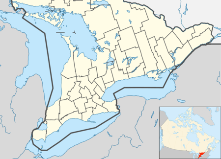 Location of the mouth of the Gananoque River in southern Ontario
| |
The Gananoque River is a river in Leeds and Grenville United Counties in Eastern Ontario, Canada.[1][2] The river is in the Atlantic Ocean drainage basin and is a left tributary of the Saint Lawrence River.
The name "Gananoque" has been spelled many different ways over the years and so has been assigned several different interpretations, including "place of health" or "meeting place".
The Gananoque River Waterways Association was founded in 1963 to include "...property owners, resort operators, fishermen, farmers, trappers and all other interested parties..." for the purpose of getting together to "Protect wild life, arrange for equitable water levels, facilitate navigation, maintain health standards through the purity of the water [and] confer with officials in regard to definite arrangements for maintaining and improving the waterway for everyone's use."
Course and watershed
For a map showing the river course, see this reference.[2]
The Gananoque River begins at Gananoque Lake in incorporated Leeds and the Thousand Islands township. It flows south, passes through the community of Marble Rock, then turns southwest and reaches the community of Maple Grove. It heads again south, takes in the right tributary Mud Creek, passes under Ontario Highway 401, and enters the town of Gananoque. It then flows over the concrete dam for the Gananoque Generating Station, in service since 1939,[3] and empties into the Saint Lawrence River where that river is part of the Thousand Islands region.
At one time, the Gananoque's watershed extended north to the Rideau River watershed, but, in 1830, the flow of water was diverted near the town of Newboro, Ontario to enter the Cataraqui River watershed as part of the construction of the Rideau Canal. Up until that time, the river had been an important water transportation corridor.
See also
- List of Ontario rivers
- Gananoque River Bridge
References
- ↑ "Gananoque River". Geographical Names Data Base. Natural Resources Canada. Retrieved 2012-03-13.
- ↑ 2.0 2.1 "Gananoque River". Atlas of Canada. Natural Resources Canada. 2010-02-04. Retrieved 2012-03-13. Shows the course of the river highlighted on a map.
- ↑ "Gananoque (0.7 MW) - Gananoque: Gananoque River". Ontario Power Authority. Retrieved 2012-03-13.
Other map sources:
- Map 6 (PDF) (Map). 1 : 700,000. Official road map of Ontario. Ministry of Transportation of Ontario. 2010-01-01. Retrieved 2012-03-13.
- Restructured municipalities - Ontario map #5 (Map). Restructuring Maps of Ontario. Ontario Ministry of Municipal Affairs and Housing. 2006. Retrieved 2012-03-13.